Chesterton Allotments
Introduction
The photograph on this page of Chesterton Allotments by John Sutton as part of the Geograph project.
The Geograph project started in 2005 with the aim of publishing, organising and preserving representative images for every square kilometre of Great Britain, Ireland and the Isle of Man.

There are currently over 7.5m images from over 14,400 individuals and you can help contribute to the project by visiting https://www.geograph.org.uk
Chesterton Allotments
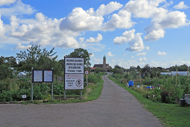
Image: © John Sutton Taken: 21 Jul 2020
A view through the gate at the end of Pakenham Close, with St George's Church on the skyline in the centre - for a closer look at it, try Image
Images are licensed for reuse under creativecommons.org/licenses/by-sa/2.0
Image Location
Latitude
52.221442
Longitude
0.137673