Llwybr cyhoeddus yn Abercraf / Footpath in Abercraf
Introduction
The photograph on this page of Llwybr cyhoeddus yn Abercraf / Footpath in Abercraf by Alan Richards as part of the Geograph project.
The Geograph project started in 2005 with the aim of publishing, organising and preserving representative images for every square kilometre of Great Britain, Ireland and the Isle of Man.

There are currently over 7.5m images from over 14,400 individuals and you can help contribute to the project by visiting https://www.geograph.org.uk
Llwybr cyhoeddus yn Abercraf / Footpath in Abercraf
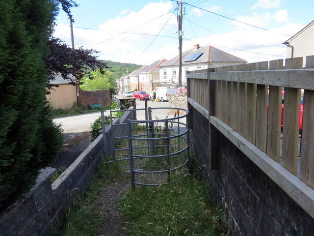
Image: © Alan Richards Taken: 20 Jul 2020
Llwybr cyhoeddus yn cyrraedd pentre Abercraf. Mae'r llwybr yn dilyn hen ddramffordd a gludai calch i lawr o'r cware ar Gribarth. A public footpath in the village of Abercraf (trans. confluence of the garlic stream). The path follows the former tramway that transported limestone down from the quarries on Cribarth (hillcrest).
Images are licensed for reuse under creativecommons.org/licenses/by-sa/2.0
Image Location
Latitude
51.801665
Longitude
-3.716046