Barugh Bridge and the River Dearne
Introduction
The photograph on this page of Barugh Bridge and the River Dearne by John Fielding as part of the Geograph project.
The Geograph project started in 2005 with the aim of publishing, organising and preserving representative images for every square kilometre of Great Britain, Ireland and the Isle of Man.

There are currently over 7.5m images from over 14,400 individuals and you can help contribute to the project by visiting https://www.geograph.org.uk
Barugh Bridge and the River Dearne
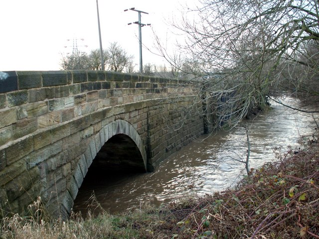
Image: © John Fielding Taken: 10 Jan 2008
The bridge supports the B6428 Dearne Hall Road.
Images are licensed for reuse under creativecommons.org/licenses/by-sa/2.0
Image Location


Leaflet Map data © OpenStreetMap
Latitude
53.577614
Longitude
-1.51758