Britannia Square, Worcester
Introduction
The photograph on this page of Britannia Square, Worcester by V1ncenze as part of the Geograph project.
The Geograph project started in 2005 with the aim of publishing, organising and preserving representative images for every square kilometre of Great Britain, Ireland and the Isle of Man.

There are currently over 7.5m images from over 14,400 individuals and you can help contribute to the project by visiting https://www.geograph.org.uk
Britannia Square, Worcester
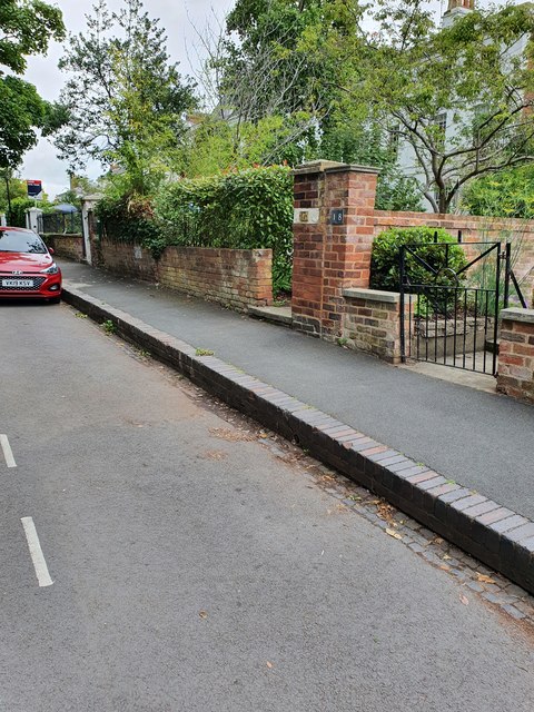
Image: © V1ncenze Taken: 15 Jul 2020
Brickwork and entrances located on Britannia Square, Worcester. The pillar outside number 17 is the location of an Ordnance Survey bench mark.
Images are licensed for reuse under creativecommons.org/licenses/by-sa/2.0
Image Location
Latitude
52.198234
Longitude
-2.227318