The Cottages, Blind Lane, Oxton
Introduction
The photograph on this page of The Cottages, Blind Lane, Oxton by Alan Murray-Rust as part of the Geograph project.
The Geograph project started in 2005 with the aim of publishing, organising and preserving representative images for every square kilometre of Great Britain, Ireland and the Isle of Man.

There are currently over 7.5m images from over 14,400 individuals and you can help contribute to the project by visiting https://www.geograph.org.uk
The Cottages, Blind Lane, Oxton
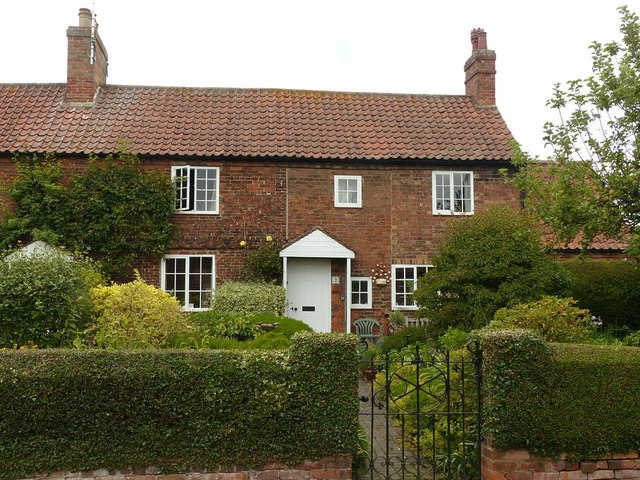
Image: © Alan Murray-Rust Taken: 16 Jul 2020
The right hand two bays are an early 19th century addition to a pair of earlier, late 18th century, cottages http://www.geograph.org.uk/photo/6542927 . Listed Grade II.
Images are licensed for reuse under creativecommons.org/licenses/by-sa/2.0
Image Location
Latitude
53.058663
Longitude
-1.060993