Triangulation Pillar near Prestwood
Introduction
The photograph on this page of Triangulation Pillar near Prestwood by David Hillas as part of the Geograph project.
The Geograph project started in 2005 with the aim of publishing, organising and preserving representative images for every square kilometre of Great Britain, Ireland and the Isle of Man.

There are currently over 7.5m images from over 14,400 individuals and you can help contribute to the project by visiting https://www.geograph.org.uk
Triangulation Pillar near Prestwood
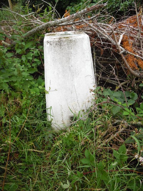
Image: © David Hillas Taken: 16 Jul 2020
This triangulation pillar is located at the edge of a field accessible from Nairdwood Lane HP16 0QQ and is at a height of 634 feet (193 metres) above sea level. It is surrounded by undergrowth although the benchmark at its foot can just be seen, https://www.geograph.org.uk/photo/6542751 refers.
Images are licensed for reuse under creativecommons.org/licenses/by-sa/2.0
Image Location
Latitude
51.694734
Longitude
-0.727477