2008 : View from Hag Hill (2)
Introduction
The photograph on this page of 2008 : View from Hag Hill (2) by Maurice Pullin as part of the Geograph project.
The Geograph project started in 2005 with the aim of publishing, organising and preserving representative images for every square kilometre of Great Britain, Ireland and the Isle of Man.

There are currently over 7.5m images from over 14,400 individuals and you can help contribute to the project by visiting https://www.geograph.org.uk
2008 : View from Hag Hill (2)
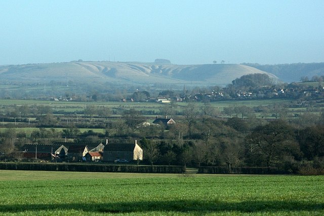
Image: © Maurice Pullin Taken: 6 Jan 2008
Looking north of east toward Devizes, which is hidden behind Seend Hill, we can see the escarpment at the edge of the downs. This includes Beacon Hill, Image Oliver's Castle SU0064 and Roundway.
Images are licensed for reuse under creativecommons.org/licenses/by-sa/2.0
Image Location
Latitude
51.331166
Longitude
-2.152669