Pond, Silverlink Biodiversity Park, Shiremoor
Introduction
The photograph on this page of Pond, Silverlink Biodiversity Park, Shiremoor by Geoff Holland as part of the Geograph project.
The Geograph project started in 2005 with the aim of publishing, organising and preserving representative images for every square kilometre of Great Britain, Ireland and the Isle of Man.

There are currently over 7.5m images from over 14,400 individuals and you can help contribute to the project by visiting https://www.geograph.org.uk
Pond, Silverlink Biodiversity Park, Shiremoor
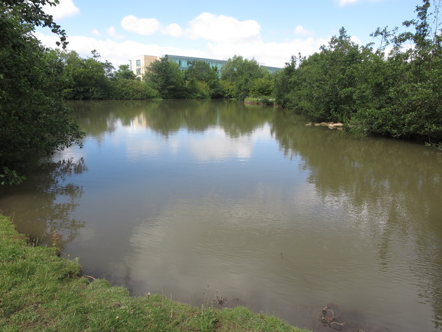
Image: © Geoff Holland Taken: 19 Jul 2020
This is one of a number of small ponds located within the Silverlink Biodiversity Park. The Park was created in 1996, on the site of a former rubbish tip, as part of a new business park development scheme. It covers an area of approximately 18 hectares and contains a variety of woodland, scrub and hedgerow, grassland and tall herb, wetland and exposed rock habitats. A giant sundial sits on top of a central hill which can be reached via a spider's web of footpaths. The park was declared a Local Nature Reserve in 2005. For selection of detailed free to download walking routes in the area visit www.northtynesidewalks.co.uk
Images are licensed for reuse under creativecommons.org/licenses/by-sa/2.0
Image Location


Leaflet Map data © OpenStreetMap
Latitude
55.022191
Longitude
-1.507124