Stakers Farmhouse
Introduction
The photograph on this page of Stakers Farmhouse by Chris Thomas-Atkin as part of the Geograph project.
The Geograph project started in 2005 with the aim of publishing, organising and preserving representative images for every square kilometre of Great Britain, Ireland and the Isle of Man.

There are currently over 7.5m images from over 14,400 individuals and you can help contribute to the project by visiting https://www.geograph.org.uk
Stakers Farmhouse
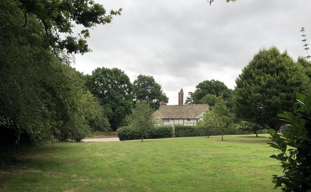
Image: © Chris Thomas-Atkin Taken: 19 Jul 2020
The farmhouse at Stakers Farm is a Grade II listed building. See https://historicengland.org.uk/listing/the-list/list-entry/1193591
Images are licensed for reuse under creativecommons.org/licenses/by-sa/2.0
Image Location
Latitude
51.022971
Longitude
-0.337012