St Hilary's, Wallasey
Introduction
The photograph on this page of St Hilary's, Wallasey by Sue Adair as part of the Geograph project.
The Geograph project started in 2005 with the aim of publishing, organising and preserving representative images for every square kilometre of Great Britain, Ireland and the Isle of Man.

There are currently over 7.5m images from over 14,400 individuals and you can help contribute to the project by visiting https://www.geograph.org.uk
St Hilary's, Wallasey
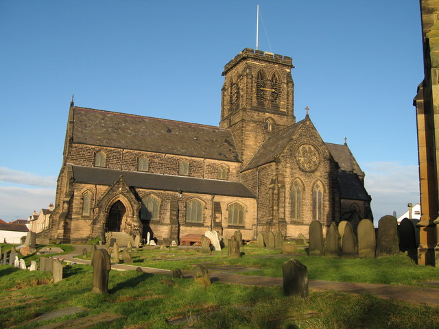
Image: © Sue Adair Taken: 9 Jan 2008
St Hilary's is the church on the sandstone outcrop high above Wallasey Village. It is thought to have been the site of a church since the 6th century and has been rebuilt many times, the present building dates from 1858-9, the previous church having burnt down in 1857. The stone was donated from Rake Lane quarry.
Images are licensed for reuse under creativecommons.org/licenses/by-sa/2.0
Image Location


Leaflet Map data © OpenStreetMap
Latitude
53.421613
Longitude
-3.060367