Llwybr i Gwmtwrch Uchaf / Path to Cwmtwrch Uchaf
Introduction
The photograph on this page of Llwybr i Gwmtwrch Uchaf / Path to Cwmtwrch Uchaf by Alan Richards as part of the Geograph project.
The Geograph project started in 2005 with the aim of publishing, organising and preserving representative images for every square kilometre of Great Britain, Ireland and the Isle of Man.

There are currently over 7.5m images from over 14,400 individuals and you can help contribute to the project by visiting https://www.geograph.org.uk
Llwybr i Gwmtwrch Uchaf / Path to Cwmtwrch Uchaf
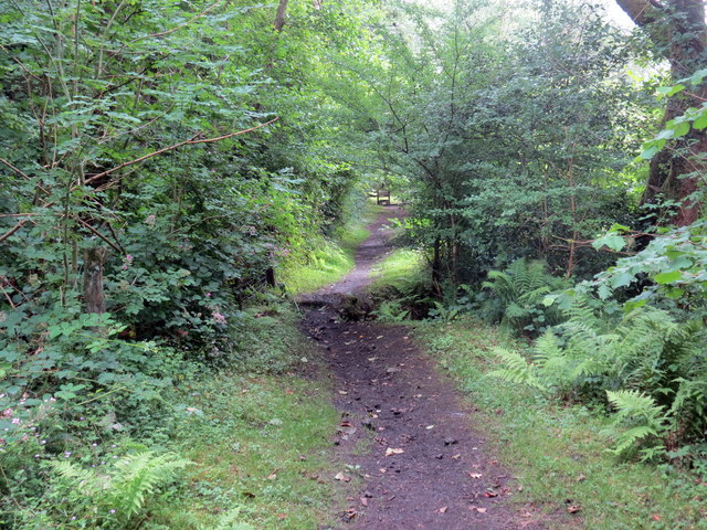
Image: © Alan Richards Taken: 17 Jul 2020
Llwybr cyhoeddus yn mynd i gyfeiriad pentre Cwmtwrch Uchaf. Mae'r llwybr yn dilyn hen reilffordd a gludai lo o Waith Glo Henllys Vale. A public footpath heading in the direction of Cwmtwrch Uchaf (trans. upper village of the boar [river] valley). The path follows the former railway which transported coal from Henllys Vale Colliery.
Images are licensed for reuse under creativecommons.org/licenses/by-sa/2.0
Image Location
Latitude
51.793736
Longitude
-3.807102