West end of Union Street (I)
Introduction
The photograph on this page of West end of Union Street (I) by Bill Harrison as part of the Geograph project.
The Geograph project started in 2005 with the aim of publishing, organising and preserving representative images for every square kilometre of Great Britain, Ireland and the Isle of Man.

There are currently over 7.5m images from over 14,400 individuals and you can help contribute to the project by visiting https://www.geograph.org.uk
West end of Union Street (I)
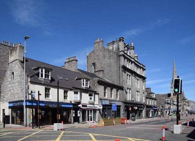
Image: © Bill Harrison Taken: 12 Jul 2020
The block between Rose Street (left) and Chapel Street, with an extravagant five storey edifice in the centre. The cones and temporary traffic lights are to facilitate social distancing as the coronavirus lockdown is eased in July 2020.
Images are licensed for reuse under creativecommons.org/licenses/by-sa/2.0
Image Location
Latitude
57.143495
Longitude
-2.110698