Public path sign
Introduction
The photograph on this page of Public path sign by Bill Kasman as part of the Geograph project.
The Geograph project started in 2005 with the aim of publishing, organising and preserving representative images for every square kilometre of Great Britain, Ireland and the Isle of Man.

There are currently over 7.5m images from over 14,400 individuals and you can help contribute to the project by visiting https://www.geograph.org.uk
Public path sign
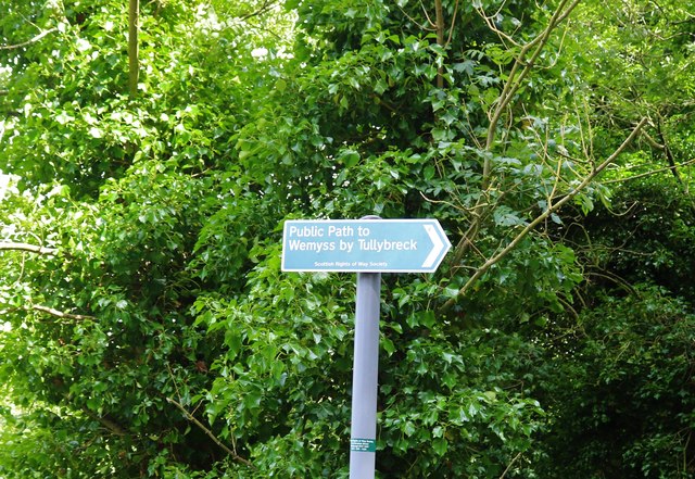
Image: © Bill Kasman Taken: 15 Jul 2020
The path which runs along the south side of the River Leven near Milton of Balgonie joins with other paths to make a good way to explore this area either on foot or by bicycle.
Images are licensed for reuse under creativecommons.org/licenses/by-sa/2.0
Image Location


Leaflet Map data © OpenStreetMap
Latitude
56.191393
Longitude
-3.101659