Millburn Trees
Introduction
The photograph on this page of Millburn Trees by Andrew Wood as part of the Geograph project.
The Geograph project started in 2005 with the aim of publishing, organising and preserving representative images for every square kilometre of Great Britain, Ireland and the Isle of Man.

There are currently over 7.5m images from over 14,400 individuals and you can help contribute to the project by visiting https://www.geograph.org.uk
Millburn Trees
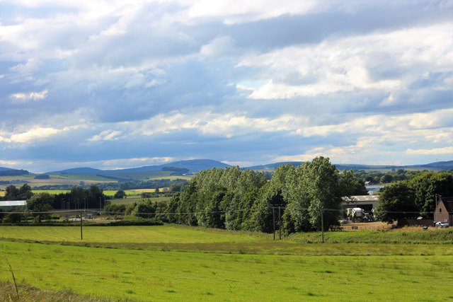
Image: © Andrew Wood Taken: 14 Jul 2020
The trees flow the line of the Meadow Burn, soon to become the Lochter Burn. On the right is Millburn Road and an industrial estate , to the left the bypass and its roundabout.
Images are licensed for reuse under creativecommons.org/licenses/by-sa/2.0
Image Location
Latitude
57.330859
Longitude
-2.327508