Field on east side of Boroughbridge Road
Introduction
The photograph on this page of Field on east side of Boroughbridge Road by Trevor Littlewood as part of the Geograph project.
The Geograph project started in 2005 with the aim of publishing, organising and preserving representative images for every square kilometre of Great Britain, Ireland and the Isle of Man.

There are currently over 7.5m images from over 14,400 individuals and you can help contribute to the project by visiting https://www.geograph.org.uk
Field on east side of Boroughbridge Road
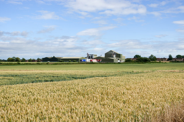
Image: © Trevor Littlewood Taken: 16 Jul 2020
Boroughbridge Road gives access to the RAF / Army base at Dishforth Airfield. The buildings and airfield itself are on the west side of the road; this wheat field is on the east side. The view is towards large metal buildings at North Hill Farm.
Images are licensed for reuse under creativecommons.org/licenses/by-sa/2.0
Image Location
Latitude
54.135808
Longitude
-1.406126