Halfsmock Stream
Introduction
The photograph on this page of Halfsmock Stream by Robin Webster as part of the Geograph project.
The Geograph project started in 2005 with the aim of publishing, organising and preserving representative images for every square kilometre of Great Britain, Ireland and the Isle of Man.

There are currently over 7.5m images from over 14,400 individuals and you can help contribute to the project by visiting https://www.geograph.org.uk
Halfsmock Stream
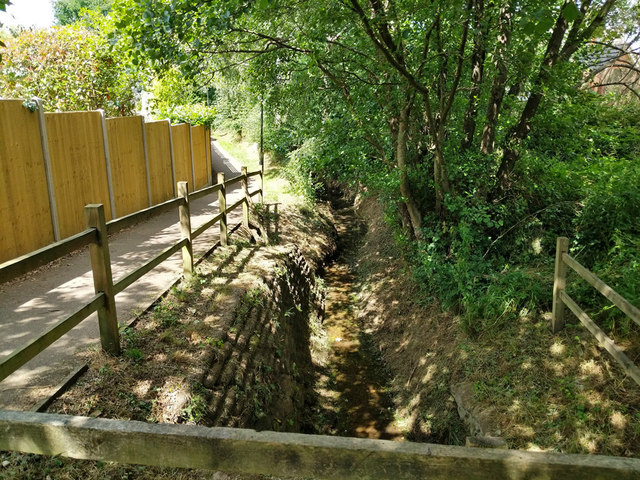
Image: © Robin Webster Taken: 11 Jul 2020
Looking downstream from above the culvert under Pallingham Drive. The path follows the stream all the way from its emergence from a culvert under the M23 to its confluence with Stanford Brook.
Images are licensed for reuse under creativecommons.org/licenses/by-sa/2.0
Image Location
Latitude
51.101933
Longitude
-0.151638