Chew Stoke : Chew Valley Lake
Introduction
The photograph on this page of Chew Stoke : Chew Valley Lake by Lewis Clarke as part of the Geograph project.
The Geograph project started in 2005 with the aim of publishing, organising and preserving representative images for every square kilometre of Great Britain, Ireland and the Isle of Man.

There are currently over 7.5m images from over 14,400 individuals and you can help contribute to the project by visiting https://www.geograph.org.uk
Chew Stoke : Chew Valley Lake
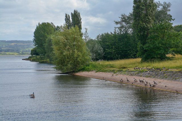
Image: © Lewis Clarke Taken: 29 Jun 2020
The area the lake covers was once rich farmland. Farms and houses had to be removed before the land was flooded, and old roads, hedgerows and tree stumps can reappear when dry summers cause the level of the lake to drop.
Images are licensed for reuse under creativecommons.org/licenses/by-sa/2.0
Image Location
Latitude
51.350299
Longitude
-2.620987