Cleft Rock, Haswell/Hazel Mine, Ausewell, Dartmoor
Introduction
The photograph on this page of Cleft Rock, Haswell/Hazel Mine, Ausewell, Dartmoor by Sloop John B as part of the Geograph project.
The Geograph project started in 2005 with the aim of publishing, organising and preserving representative images for every square kilometre of Great Britain, Ireland and the Isle of Man.

There are currently over 7.5m images from over 14,400 individuals and you can help contribute to the project by visiting https://www.geograph.org.uk
Cleft Rock, Haswell/Hazel Mine, Ausewell, Dartmoor
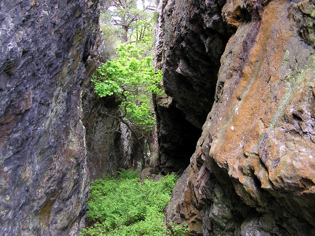
Image: © Sloop John B Taken: 14 May 2004
Grid Reference iffy – probably calculated from a nearby point with enough sky in sight! A pretty scene, the rocks’ colours suggesting minerals. Nearby, from late 1500’s to early 1900’s, there was an industrial complex of “national importance” hereabouts, mining iron and copper ores and smelting them. Details: https://www.heritagegateway.org.uk/Gateway/Results_Single.aspx?uid=MDV103390&resourceID=104 With a change of ownership in progress (2020), access may be restricted.
Images are licensed for reuse under creativecommons.org/licenses/by-sa/2.0
Image Location
Latitude
50.524353
Longitude
-3.79738