Astonfields Balancing Lakes, Stafford
Introduction
The photograph on this page of Astonfields Balancing Lakes, Stafford by Oliver Mills as part of the Geograph project.
The Geograph project started in 2005 with the aim of publishing, organising and preserving representative images for every square kilometre of Great Britain, Ireland and the Isle of Man.

There are currently over 7.5m images from over 14,400 individuals and you can help contribute to the project by visiting https://www.geograph.org.uk
Astonfields Balancing Lakes, Stafford
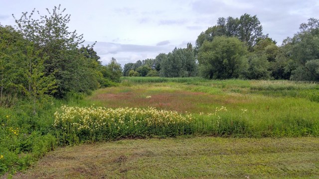
Image: © Oliver Mills Taken: 14 Jul 2020
A view of the South lake, from the spillway. The site is now treated as a nature reserve, with footpaths running along the perimeter.
Images are licensed for reuse under creativecommons.org/licenses/by-sa/2.0
Image Location
Latitude
52.820142
Longitude
-2.112288