Row of houses west of Rockfield Road, Monmouth
Introduction
The photograph on this page of Row of houses west of Rockfield Road, Monmouth by Jaggery as part of the Geograph project.
The Geograph project started in 2005 with the aim of publishing, organising and preserving representative images for every square kilometre of Great Britain, Ireland and the Isle of Man.

There are currently over 7.5m images from over 14,400 individuals and you can help contribute to the project by visiting https://www.geograph.org.uk
Row of houses west of Rockfield Road, Monmouth
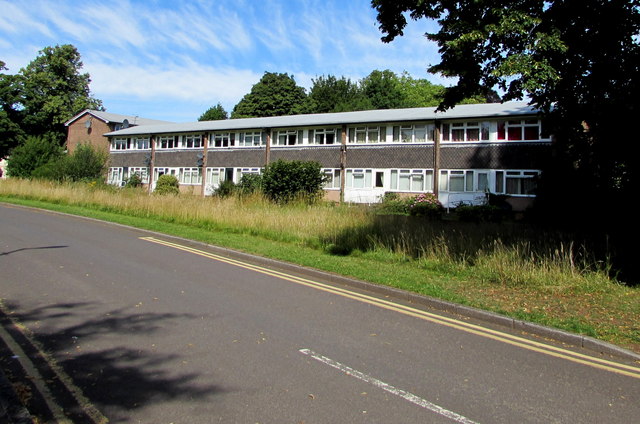
Image: © Jaggery Taken: 12 Jul 2020
Located between the B4233 Rockfield Road and Monnow Vale Hospital out of shot ahead.
Images are licensed for reuse under creativecommons.org/licenses/by-sa/2.0
Image Location
Latitude
51.810253
Longitude
-2.723895