Upper Yard Bridge, Llangattock
Introduction
The photograph on this page of Upper Yard Bridge, Llangattock by M J Roscoe as part of the Geograph project.
The Geograph project started in 2005 with the aim of publishing, organising and preserving representative images for every square kilometre of Great Britain, Ireland and the Isle of Man.

There are currently over 7.5m images from over 14,400 individuals and you can help contribute to the project by visiting https://www.geograph.org.uk
Upper Yard Bridge, Llangattock
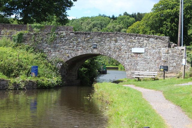
Image: © M J Roscoe Taken: 10 Jul 2020
Bridge 115 - a road bridge next to Llangattock Wharf; the blue sign states, bilingually, 'Slow past moored boats'.
Images are licensed for reuse under creativecommons.org/licenses/by-sa/2.0
Image Location
Latitude
51.848278
Longitude
-3.153062