Farms in Roundthwaite
Introduction
The photograph on this page of Farms in Roundthwaite by DS Pugh as part of the Geograph project.
The Geograph project started in 2005 with the aim of publishing, organising and preserving representative images for every square kilometre of Great Britain, Ireland and the Isle of Man.

There are currently over 7.5m images from over 14,400 individuals and you can help contribute to the project by visiting https://www.geograph.org.uk
Farms in Roundthwaite
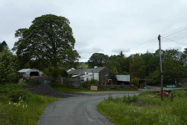
Image: © DS Pugh Taken: 9 Jul 2020
Looking through the village of Roundthwaite situated close to the M6.
Images are licensed for reuse under creativecommons.org/licenses/by-sa/2.0
Image Location
Latitude
54.42362
Longitude
-2.604278