New housing on the west side of Wiggington Road
Introduction
The photograph on this page of New housing on the west side of Wiggington Road by Roger Templeman as part of the Geograph project.
The Geograph project started in 2005 with the aim of publishing, organising and preserving representative images for every square kilometre of Great Britain, Ireland and the Isle of Man.

There are currently over 7.5m images from over 14,400 individuals and you can help contribute to the project by visiting https://www.geograph.org.uk
New housing on the west side of Wiggington Road
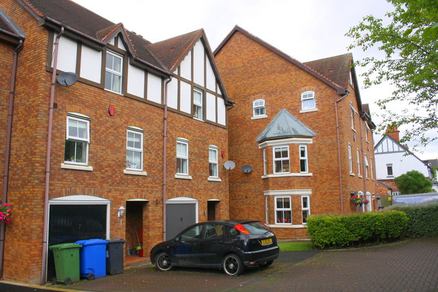
Image: © Roger Templeman Taken: 3 Aug 2017
Ordnance Survey documents indicate that in 1956 a benchmark was levelled at 90.443m above Newlyn Datum at this location on St Editha's hospital. The building was originally (1859) a workhouse, later became St Editha's Hospital and closed in 1998, with many of the buildings demolished and the site developed for residential use
Images are licensed for reuse under creativecommons.org/licenses/by-sa/2.0
Image Location
Latitude
52.644502
Longitude
-1.692991