Junction for Clyst Honiton bypass
Introduction
The photograph on this page of Junction for Clyst Honiton bypass by David Smith as part of the Geograph project.
The Geograph project started in 2005 with the aim of publishing, organising and preserving representative images for every square kilometre of Great Britain, Ireland and the Isle of Man.

There are currently over 7.5m images from over 14,400 individuals and you can help contribute to the project by visiting https://www.geograph.org.uk
Junction for Clyst Honiton bypass
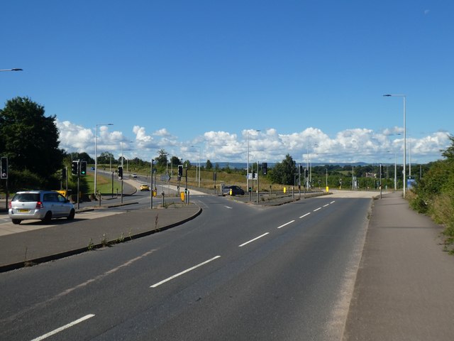
Image: © David Smith Taken: 11 Jul 2020
The B3174 veers to the south-west here, and the road ahead (which was formerly an extension of the road in the foreground) leads to Clyst Honiton
Images are licensed for reuse under creativecommons.org/licenses/by-sa/2.0
Image Location
Latitude
50.737185
Longitude
-3.430668