#75 (Wetherby Lodge) and #77 (Suffield Lodge), Wiggington Road
Introduction
The photograph on this page of #75 (Wetherby Lodge) and #77 (Suffield Lodge), Wiggington Road by Roger Templeman as part of the Geograph project.
The Geograph project started in 2005 with the aim of publishing, organising and preserving representative images for every square kilometre of Great Britain, Ireland and the Isle of Man.

There are currently over 7.5m images from over 14,400 individuals and you can help contribute to the project by visiting https://www.geograph.org.uk
#75 (Wetherby Lodge) and #77 (Suffield Lodge), Wiggington Road
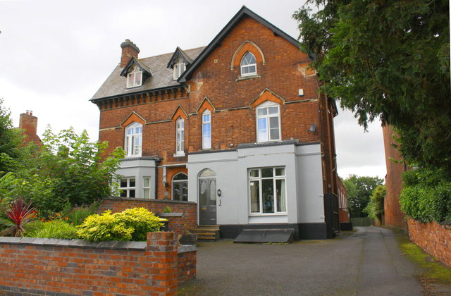
Image: © Roger Templeman Taken: 3 Aug 2017
Ordnance Survey documents indicate that in 1956 a benchmark was levelled at 90.418m above Newlyn Datum on the side of the right hand house 4.6m back from its front corner
Images are licensed for reuse under creativecommons.org/licenses/by-sa/2.0
Image Location
Latitude
52.646119
Longitude
-1.692832