Oswaldtwistle and Church Conservative Club
Introduction
The photograph on this page of Oswaldtwistle and Church Conservative Club by Chris Heaton as part of the Geograph project.
The Geograph project started in 2005 with the aim of publishing, organising and preserving representative images for every square kilometre of Great Britain, Ireland and the Isle of Man.

There are currently over 7.5m images from over 14,400 individuals and you can help contribute to the project by visiting https://www.geograph.org.uk
Oswaldtwistle and Church Conservative Club
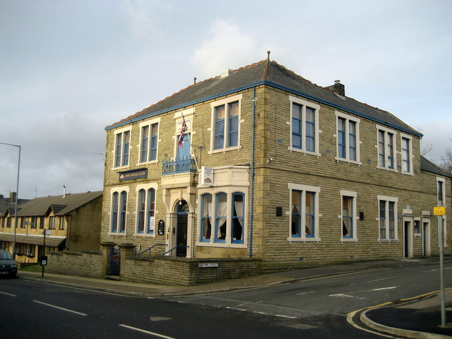
Image: © Chris Heaton Taken: 9 Jan 2008
Conservative Club on Rhyddings Street.
Images are licensed for reuse under creativecommons.org/licenses/by-sa/2.0
Image Location
Latitude
53.743234
Longitude
-2.39266