Bridge taking Ashby Road (B5493) over railway
Introduction
The photograph on this page of Bridge taking Ashby Road (B5493) over railway by Roger Templeman as part of the Geograph project.
The Geograph project started in 2005 with the aim of publishing, organising and preserving representative images for every square kilometre of Great Britain, Ireland and the Isle of Man.

There are currently over 7.5m images from over 14,400 individuals and you can help contribute to the project by visiting https://www.geograph.org.uk
Bridge taking Ashby Road (B5493) over railway
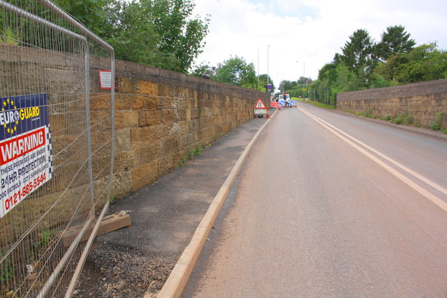
Image: © Roger Templeman Taken: 3 Aug 2017
Ordnance Survey records indicate that in 1964 a benchmark levelled at 80.614m above Newlyn Datum was verified on the left hand parapet over the centre of the railway.
Images are licensed for reuse under creativecommons.org/licenses/by-sa/2.0
Image Location
Latitude
52.64655
Longitude
-1.685439