Penhill View, The River Taw & Ashford
Introduction
The photograph on this page of Penhill View, The River Taw & Ashford by Roger A Smith as part of the Geograph project.
The Geograph project started in 2005 with the aim of publishing, organising and preserving representative images for every square kilometre of Great Britain, Ireland and the Isle of Man.

There are currently over 7.5m images from over 14,400 individuals and you can help contribute to the project by visiting https://www.geograph.org.uk
Penhill View, The River Taw & Ashford
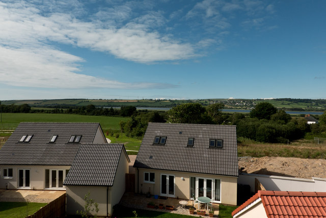
Image: © Roger A Smith Taken: 2 Jul 2020
The houses in the foreground are on Penhill View. Ashford is the other side of the River Taw.
Images are licensed for reuse under creativecommons.org/licenses/by-sa/2.0
Image Location
Latitude
51.098312
Longitude
-4.099494