Bridleway between Epperstone and Halam
Introduction
The photograph on this page of Bridleway between Epperstone and Halam by Alan Murray-Rust as part of the Geograph project.
The Geograph project started in 2005 with the aim of publishing, organising and preserving representative images for every square kilometre of Great Britain, Ireland and the Isle of Man.

There are currently over 7.5m images from over 14,400 individuals and you can help contribute to the project by visiting https://www.geograph.org.uk
Bridleway between Epperstone and Halam
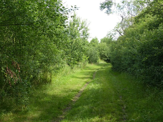
Image: © Alan Murray-Rust Taken: 12 Jul 2020
North of Norwood Farm. The woodland is modern development (early 21st century) and the bridleway is a diversion from traditional paths to follow suitable field boundaries.
Images are licensed for reuse under creativecommons.org/licenses/by-sa/2.0
Image Location
Latitude
53.057907
Longitude
-1.022961