Field edge bridleway
Introduction
The photograph on this page of Field edge bridleway by Alan Murray-Rust as part of the Geograph project.
The Geograph project started in 2005 with the aim of publishing, organising and preserving representative images for every square kilometre of Great Britain, Ireland and the Isle of Man.

There are currently over 7.5m images from over 14,400 individuals and you can help contribute to the project by visiting https://www.geograph.org.uk
Field edge bridleway
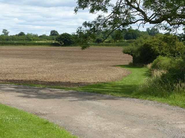
Image: © Alan Murray-Rust Taken: 12 Jul 2020
At this point the public right of way leaves the access lane to Norwood Farm.
Images are licensed for reuse under creativecommons.org/licenses/by-sa/2.0
Image Location
Latitude
53.054989
Longitude
-1.028846