Norwood Farm
Introduction
The photograph on this page of Norwood Farm by Alan Murray-Rust as part of the Geograph project.
The Geograph project started in 2005 with the aim of publishing, organising and preserving representative images for every square kilometre of Great Britain, Ireland and the Isle of Man.

There are currently over 7.5m images from over 14,400 individuals and you can help contribute to the project by visiting https://www.geograph.org.uk
Norwood Farm
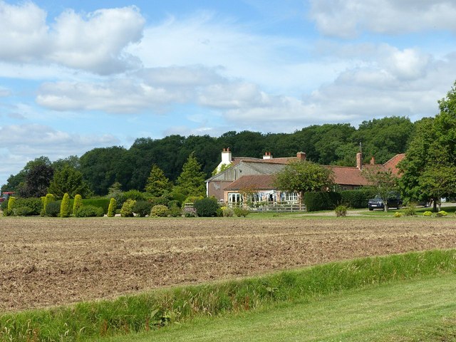
Image: © Alan Murray-Rust Taken: 12 Jul 2020
As far as I could tell, the farm is now used for stabling only.
Images are licensed for reuse under creativecommons.org/licenses/by-sa/2.0
Image Location
Latitude
53.052837
Longitude
-1.029491