A field near Collings Hanger Farm
Introduction
The photograph on this page of A field near Collings Hanger Farm by David Hillas as part of the Geograph project.
The Geograph project started in 2005 with the aim of publishing, organising and preserving representative images for every square kilometre of Great Britain, Ireland and the Isle of Man.

There are currently over 7.5m images from over 14,400 individuals and you can help contribute to the project by visiting https://www.geograph.org.uk
A field near Collings Hanger Farm
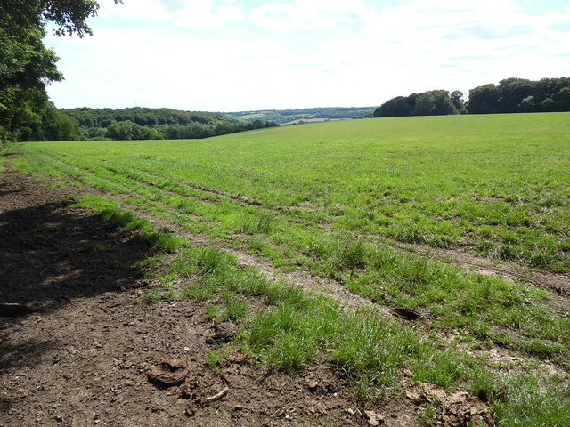
Image: © David Hillas Taken: 12 Jul 2020
This photo shows the Strawberry Close field taken from the west end of Lawrence Grove Wood. The Chiltern countryside can be seen in the distance.
Images are licensed for reuse under creativecommons.org/licenses/by-sa/2.0
Image Location
Latitude
51.687457
Longitude
-0.744751