Houses and road above a grass bank, Thurlstone
Introduction
The photograph on this page of Houses and road above a grass bank, Thurlstone by Humphrey Bolton as part of the Geograph project.
The Geograph project started in 2005 with the aim of publishing, organising and preserving representative images for every square kilometre of Great Britain, Ireland and the Isle of Man.

There are currently over 7.5m images from over 14,400 individuals and you can help contribute to the project by visiting https://www.geograph.org.uk
Houses and road above a grass bank, Thurlstone
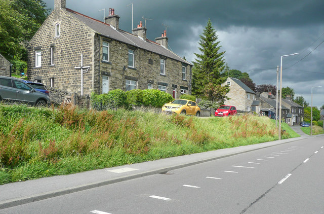
Image: © Humphrey Bolton Taken: 10 Jul 2020
I think the road at the top of the bank must have been the old road, and, as it would have been difficult to widen it, the turnpike road was constructed alongside at a lower level. The cross on the gable end of the house has no religious significance. Close inspection shows that it is soil pipes.
Images are licensed for reuse under creativecommons.org/licenses/by-sa/2.0
Image Location
Latitude
53.526767
Longitude
-1.655428