Houses on the SW side of Girlington Road
Introduction
The photograph on this page of Houses on the SW side of Girlington Road by Roger Templeman as part of the Geograph project.
The Geograph project started in 2005 with the aim of publishing, organising and preserving representative images for every square kilometre of Great Britain, Ireland and the Isle of Man.

There are currently over 7.5m images from over 14,400 individuals and you can help contribute to the project by visiting https://www.geograph.org.uk
Houses on the SW side of Girlington Road
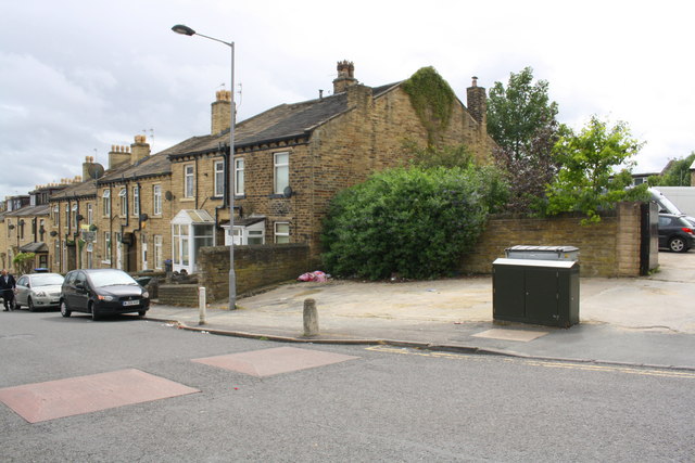
Image: © Roger Templeman Taken: 28 Jul 2017
Ordnance Survey records indicate that in 1957 a benchmark levelled at 174.096m above Newlyn Datum was verified on a roadside wall at the position now occupied by the green cabinet
Images are licensed for reuse under creativecommons.org/licenses/by-sa/2.0
Image Location
Latitude
53.804541
Longitude
-1.788751