#281 Hollings Road
Introduction
The photograph on this page of #281 Hollings Road by Roger Templeman as part of the Geograph project.
The Geograph project started in 2005 with the aim of publishing, organising and preserving representative images for every square kilometre of Great Britain, Ireland and the Isle of Man.

There are currently over 7.5m images from over 14,400 individuals and you can help contribute to the project by visiting https://www.geograph.org.uk
#281 Hollings Road
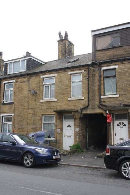
Image: © Roger Templeman Taken: 28 Jul 2017
Ordnance Survey documents indicate that in 1957 a benchmark levelled at 153.948m above Newlyn Datum was verified on the front of the house at its left hand corner - where the old settee is dumped in this image
Images are licensed for reuse under creativecommons.org/licenses/by-sa/2.0
Image Location
Latitude
53.802901
Longitude
-1.776613