Site of demolished Salem Congregational Church on south side of Oak Lane
Introduction
The photograph on this page of Site of demolished Salem Congregational Church on south side of Oak Lane by Roger Templeman as part of the Geograph project.
The Geograph project started in 2005 with the aim of publishing, organising and preserving representative images for every square kilometre of Great Britain, Ireland and the Isle of Man.

There are currently over 7.5m images from over 14,400 individuals and you can help contribute to the project by visiting https://www.geograph.org.uk
Site of demolished Salem Congregational Church on south side of Oak Lane
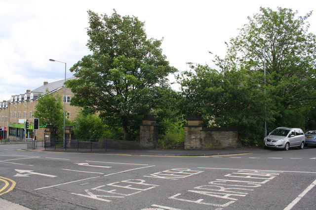
Image: © Roger Templeman Taken: 28 Jul 2017
The site is sandwiched between St Mary's Road and Rosebery Road. Ordnance Survey documents indicate that in 1957 a benchmark levelled at 144.701m above Newlyn Datum was verified on the church.
Images are licensed for reuse under creativecommons.org/licenses/by-sa/2.0
Image Location
Latitude
53.808555
Longitude
-1.772179