Upper Brighton Road, Sompting
Introduction
The photograph on this page of Upper Brighton Road, Sompting by Simon Carey as part of the Geograph project.
The Geograph project started in 2005 with the aim of publishing, organising and preserving representative images for every square kilometre of Great Britain, Ireland and the Isle of Man.

There are currently over 7.5m images from over 14,400 individuals and you can help contribute to the project by visiting https://www.geograph.org.uk
Upper Brighton Road, Sompting
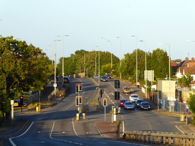
Image: © Simon Carey Taken: 5 Jul 2020
A view of the A27 towards the junction with Halewick lane and Busticle Lane. Originally the main road turned south down Busticle Lane than west along West Street through Sompting. The bypass was built in 1939 as far as Church Lane utilising an old highway called Bullpit Lane then completed after the war.
Images are licensed for reuse under creativecommons.org/licenses/by-sa/2.0
Image Location
Latitude
50.837428
Longitude
-0.335947