Upper Tankersley from the air
Introduction
The photograph on this page of Upper Tankersley from the air by Thomas Nugent as part of the Geograph project.
The Geograph project started in 2005 with the aim of publishing, organising and preserving representative images for every square kilometre of Great Britain, Ireland and the Isle of Man.

There are currently over 7.5m images from over 14,400 individuals and you can help contribute to the project by visiting https://www.geograph.org.uk
Upper Tankersley from the air
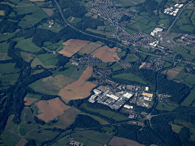
Image: © Thomas Nugent Taken: 6 Jul 2020
Industrial and business park near the M1 Junction 36 south of Barnsley.
Images are licensed for reuse under creativecommons.org/licenses/by-sa/2.0
Image Location
Latitude
53.487657
Longitude
-1.499912