Wall and mill building on NW side of Lilycroft Road
Introduction
The photograph on this page of Wall and mill building on NW side of Lilycroft Road by Roger Templeman as part of the Geograph project.
The Geograph project started in 2005 with the aim of publishing, organising and preserving representative images for every square kilometre of Great Britain, Ireland and the Isle of Man.

There are currently over 7.5m images from over 14,400 individuals and you can help contribute to the project by visiting https://www.geograph.org.uk
Wall and mill building on NW side of Lilycroft Road
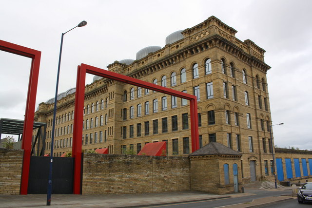
Image: © Roger Templeman Taken: 28 Jul 2017
Ordnance Survey documents indicate that in 1957 a benchmark levelled at 171.295m above Newlyn Datum was verified on a wall here, but I suspect the wall was in front of the current wall which was originally part of another mill building
Images are licensed for reuse under creativecommons.org/licenses/by-sa/2.0
Image Location


Leaflet Map data © OpenStreetMap
Latitude
53.808117
Longitude
-1.778104