Grazing land above the eastern part of the town of Nefyn
Introduction
The photograph on this page of Grazing land above the eastern part of the town of Nefyn by Eric Jones as part of the Geograph project.
The Geograph project started in 2005 with the aim of publishing, organising and preserving representative images for every square kilometre of Great Britain, Ireland and the Isle of Man.

There are currently over 7.5m images from over 14,400 individuals and you can help contribute to the project by visiting https://www.geograph.org.uk
Grazing land above the eastern part of the town of Nefyn
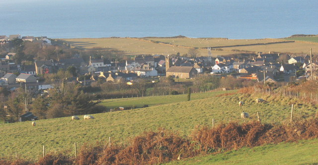
Image: © Eric Jones Taken: 19 Dec 2007
These fields on the lower slopes of Mynydd Nefyn are used for sheep and cattle grazing. The town itself lies on a narrow coastal platform which separates the high ground from the sea.
Images are licensed for reuse under creativecommons.org/licenses/by-sa/2.0
Image Location
Latitude
52.935065
Longitude
-4.51502