West Highland Way path
Introduction
The photograph on this page of West Highland Way path by Richard Sutcliffe as part of the Geograph project.
The Geograph project started in 2005 with the aim of publishing, organising and preserving representative images for every square kilometre of Great Britain, Ireland and the Isle of Man.

There are currently over 7.5m images from over 14,400 individuals and you can help contribute to the project by visiting https://www.geograph.org.uk
West Highland Way path
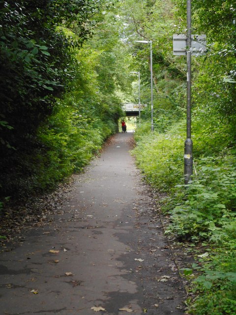
Image: © Richard Sutcliffe Taken: 8 Jul 2020
This section of the route follows a former railway cutting. A railway line spur ran here connecting the former Ellangowan Paper Mills to Milngavie Station and onwards towards Glasgow.
Images are licensed for reuse under creativecommons.org/licenses/by-sa/2.0
Image Location
Latitude
55.943462
Longitude
-4.320071