Dankton Two Acres/Feasts Three Acres/Chalkpit Field
Introduction
The photograph on this page of Dankton Two Acres/Feasts Three Acres/Chalkpit Field by Simon Carey as part of the Geograph project.
The Geograph project started in 2005 with the aim of publishing, organising and preserving representative images for every square kilometre of Great Britain, Ireland and the Isle of Man.

There are currently over 7.5m images from over 14,400 individuals and you can help contribute to the project by visiting https://www.geograph.org.uk
Dankton Two Acres/Feasts Three Acres/Chalkpit Field
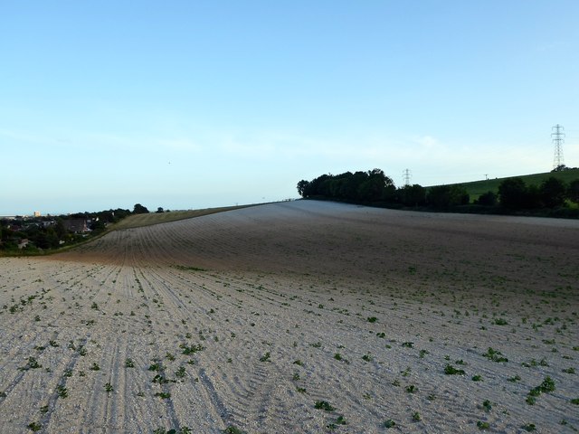
Image: © Simon Carey Taken: 5 Jul 2020
The name of the fields according to Sompting's 1840 tithe map that have been merged to form a larger unit. They are bounded by Dankton Lane to the west and the northern part of Sompting to the east.
Images are licensed for reuse under creativecommons.org/licenses/by-sa/2.0
Image Location
Latitude
50.841821
Longitude
-0.34133