Footpath next to a new development
Introduction
The photograph on this page of Footpath next to a new development by Bill Boaden as part of the Geograph project.
The Geograph project started in 2005 with the aim of publishing, organising and preserving representative images for every square kilometre of Great Britain, Ireland and the Isle of Man.

There are currently over 7.5m images from over 14,400 individuals and you can help contribute to the project by visiting https://www.geograph.org.uk
Footpath next to a new development
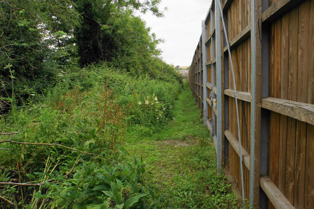
Image: © Bill Boaden Taken: 3 Jul 2020
The developers have kept the footpath open though the land here is not getting any maintenance. The fence is the western edge of the Redrow The Steeples development.
Images are licensed for reuse under creativecommons.org/licenses/by-sa/2.0
Image Location
Latitude
51.769113
Longitude
-1.211745