Porth and the Rhondda Fach
Introduction
The photograph on this page of Porth and the Rhondda Fach by Alan Hughes as part of the Geograph project.
The Geograph project started in 2005 with the aim of publishing, organising and preserving representative images for every square kilometre of Great Britain, Ireland and the Isle of Man.

There are currently over 7.5m images from over 14,400 individuals and you can help contribute to the project by visiting https://www.geograph.org.uk
Porth and the Rhondda Fach
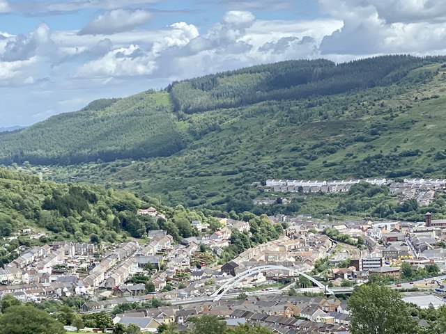
Image: © Alan Hughes Taken: 6 Jul 2020
The valley of the Rhondda Fach sweeps round Mynydd Troed-y-Rhiw towards Porth where it joins the Rhondda Fawr.
Images are licensed for reuse under creativecommons.org/licenses/by-sa/2.0
Image Location
Latitude
51.619806
Longitude
-3.40828