Middlemore Farm
Introduction
The photograph on this page of Middlemore Farm by Stephen McKay as part of the Geograph project.
The Geograph project started in 2005 with the aim of publishing, organising and preserving representative images for every square kilometre of Great Britain, Ireland and the Isle of Man.

There are currently over 7.5m images from over 14,400 individuals and you can help contribute to the project by visiting https://www.geograph.org.uk
Middlemore Farm
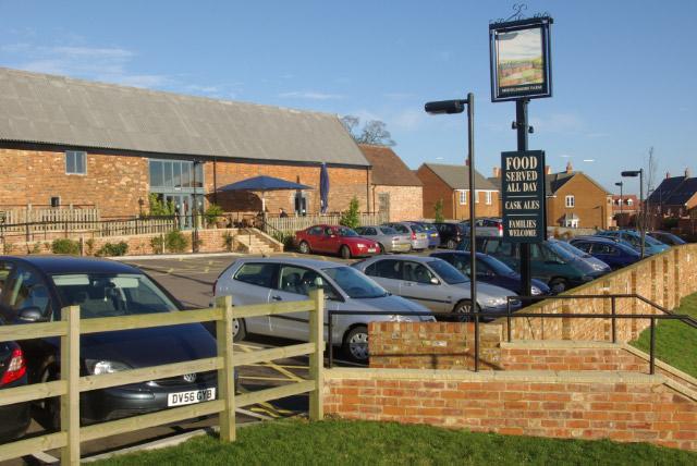
Image: © Stephen McKay Taken: 6 Jan 2008
Middlemore Farm and its associated buildings date from the 18th century and are listed. The farm's land is now being rapidly converted into a housing estate and the buildings have become a pub - appropriately called 'Middlemore Farm'; at least this preserves a link with the area's past. The pub sign depicts the farm as it used to be.
Images are licensed for reuse under creativecommons.org/licenses/by-sa/2.0
Image Location
Latitude
52.281326
Longitude
-1.172935