All Saints' Primary School, Kennion Street
Introduction
The photograph on this page of All Saints' Primary School, Kennion Street by Roger Templeman as part of the Geograph project.
The Geograph project started in 2005 with the aim of publishing, organising and preserving representative images for every square kilometre of Great Britain, Ireland and the Isle of Man.

There are currently over 7.5m images from over 14,400 individuals and you can help contribute to the project by visiting https://www.geograph.org.uk
All Saints' Primary School, Kennion Street
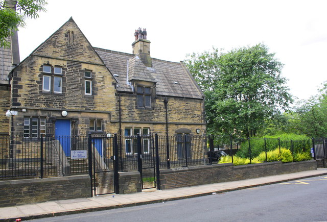
Image: © Roger Templeman Taken: 26 Jun 2017
There is an Ordnance Survey benchmark Image on the step in the bevelled stone course in the house wall visible past the right hand post of the right hand metal gate
Images are licensed for reuse under creativecommons.org/licenses/by-sa/2.0
Image Location
Latitude
53.784182
Longitude
-1.763964