Secondary source in Frogshole Gill
Introduction
The photograph on this page of Secondary source in Frogshole Gill by Robin Webster as part of the Geograph project.
The Geograph project started in 2005 with the aim of publishing, organising and preserving representative images for every square kilometre of Great Britain, Ireland and the Isle of Man.

There are currently over 7.5m images from over 14,400 individuals and you can help contribute to the project by visiting https://www.geograph.org.uk
Secondary source in Frogshole Gill
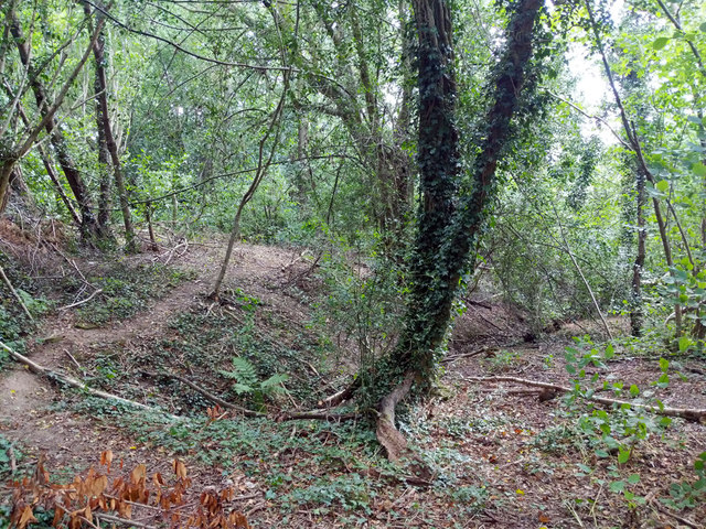
Image: © Robin Webster Taken: 5 Jul 2020
Mapped as 'issues' here. The main stream 'issues' just west of Balcombe Road but has been built over by Georgian Close for a distance. Each 'sinks' on reaching Laud Drive, and are built over beyond, presumably reaching the Gatwick Stream underground. Both were dry at this time in July.
Images are licensed for reuse under creativecommons.org/licenses/by-sa/2.0
Image Location
Latitude
51.111433
Longitude
-0.149544