Public Footpath, Seaton Delaval
Introduction
The photograph on this page of Public Footpath, Seaton Delaval by Geoff Holland as part of the Geograph project.
The Geograph project started in 2005 with the aim of publishing, organising and preserving representative images for every square kilometre of Great Britain, Ireland and the Isle of Man.

There are currently over 7.5m images from over 14,400 individuals and you can help contribute to the project by visiting https://www.geograph.org.uk
Public Footpath, Seaton Delaval
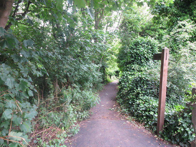
Image: © Geoff Holland Taken: 7 Jul 2020
This is the opposite end (north eastern) of the public footpath shown at https://www.geograph.org.uk/photo/6529456 and lies next to the A192 road. The wooden signpost point the way towards Holy Trinity Church and Mare Close Farm, Seghill. For a selection of detailed free to download walking routes in the area visit www.northtynesidewalks.co.uk
Images are licensed for reuse under creativecommons.org/licenses/by-sa/2.0
Image Location
Latitude
55.075775
Longitude
-1.536694