The old Gunthorpe Toll bridge
Introduction
The photograph on this page of The old Gunthorpe Toll bridge by Alan Murray-Rust as part of the Geograph project.
The Geograph project started in 2005 with the aim of publishing, organising and preserving representative images for every square kilometre of Great Britain, Ireland and the Isle of Man.

There are currently over 7.5m images from over 14,400 individuals and you can help contribute to the project by visiting https://www.geograph.org.uk
The old Gunthorpe Toll bridge
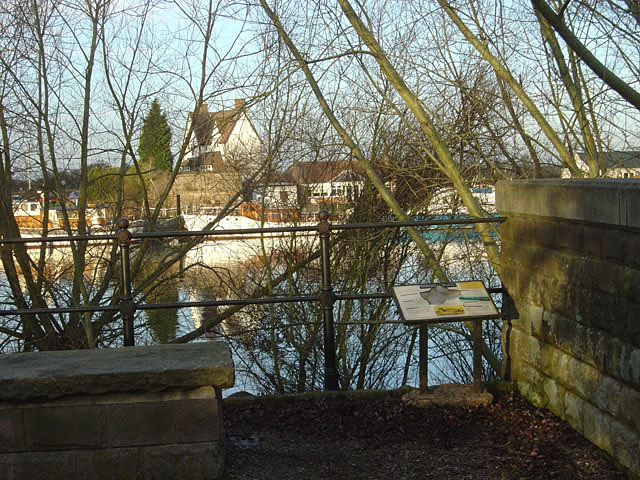
Image: © Alan Murray-Rust Taken: 6 Jan 2008
Looking from the south side to the abutment and toll cottage on the far bank. The information board states that the bridge was opened in 1875 following approval of a Parliamentary Bill (necessary to authorise the collection of tolls). As the project was relatively undersubscribed, only a relatively lightweight bridge could be built. limiting the traffic that could be carried. This was nevertheless an improvement on the previous ferry. With the growth of 20th Century traffic, the bridge was clearly inadequate. The County Council bought out the toll rights and built the present bridge which was opened by the Prince of Wales in 1927. It formed part of a brand new road linking the A46 with the A617, providing a route north for heavy traffic avoiding Loughborough and Nottingham.
Images are licensed for reuse under creativecommons.org/licenses/by-sa/2.0
Image Location
Latitude
52.986274
Longitude
-0.981677