Close Park, Bealey's Goit
Introduction
The photograph on this page of Close Park, Bealey's Goit by David Dixon as part of the Geograph project.
The Geograph project started in 2005 with the aim of publishing, organising and preserving representative images for every square kilometre of Great Britain, Ireland and the Isle of Man.

There are currently over 7.5m images from over 14,400 individuals and you can help contribute to the project by visiting https://www.geograph.org.uk
Close Park, Bealey's Goit
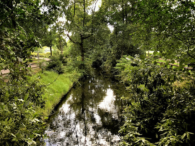
Image: © David Dixon Taken: 6 Jul 2020
Bealey's Goit is/was an artificial channel constructed to supply water from the River Irwell for the Bealey's bleachworks at Radcliffe. Now redundant, it is largely overgrown except for the small section passing through Close Park. This part of the goit has been cleaned up as part of a general revamp of the park which is a public park approximately 1 mile from Radcliffe town centre. The parkland was donated to the town by the Bealey family (owners of the bleachworks) and first opened as a public park in 1925.
Images are licensed for reuse under creativecommons.org/licenses/by-sa/2.0
Image Location
Latitude
53.56516
Longitude
-2.306306